OBSERVE
THE EARTHAnytime, Anywhere.
世界最高レベルの衛星データで
未来を開拓する

プロジェクト
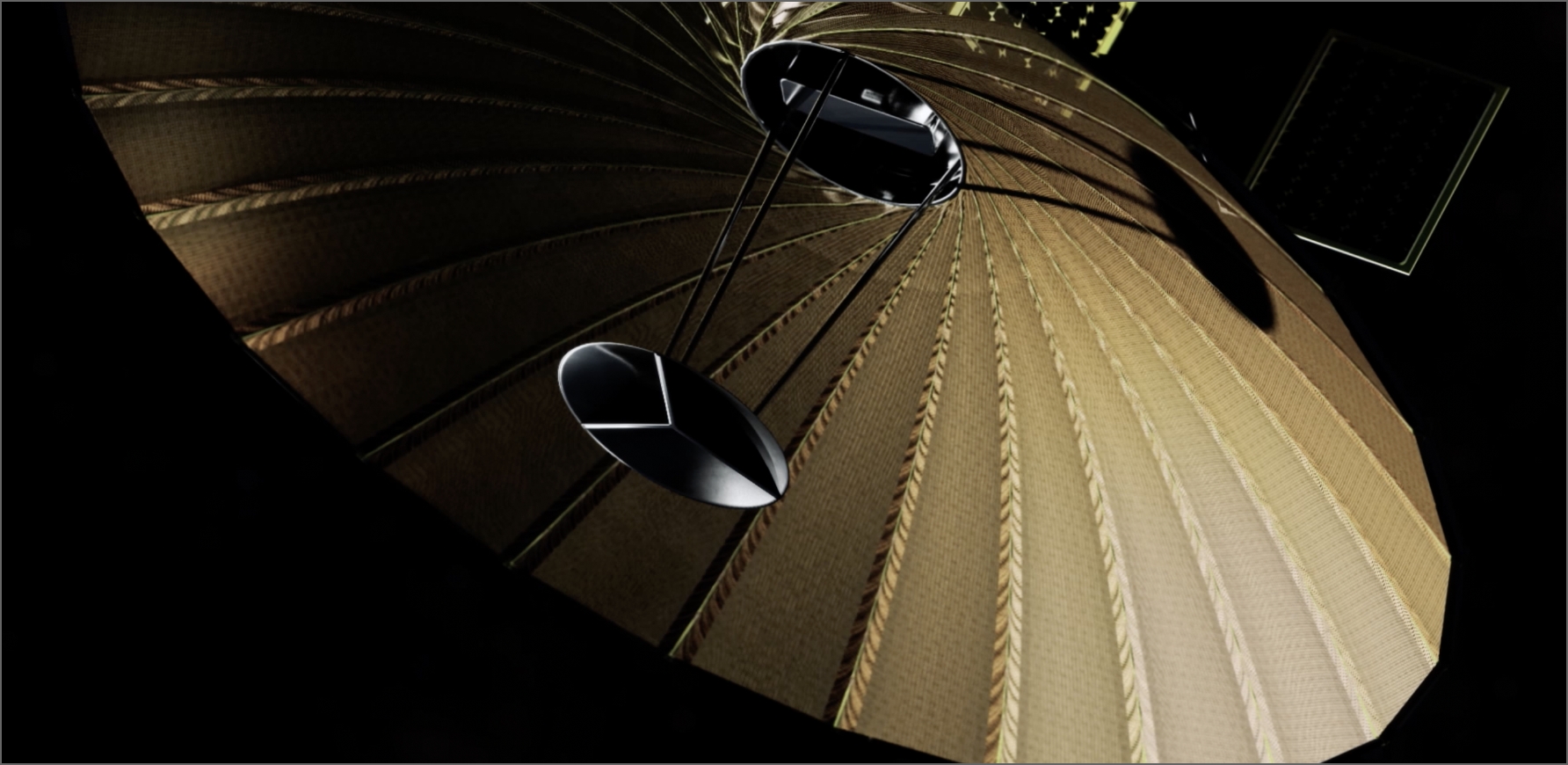
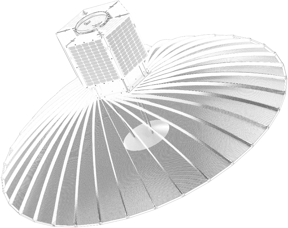
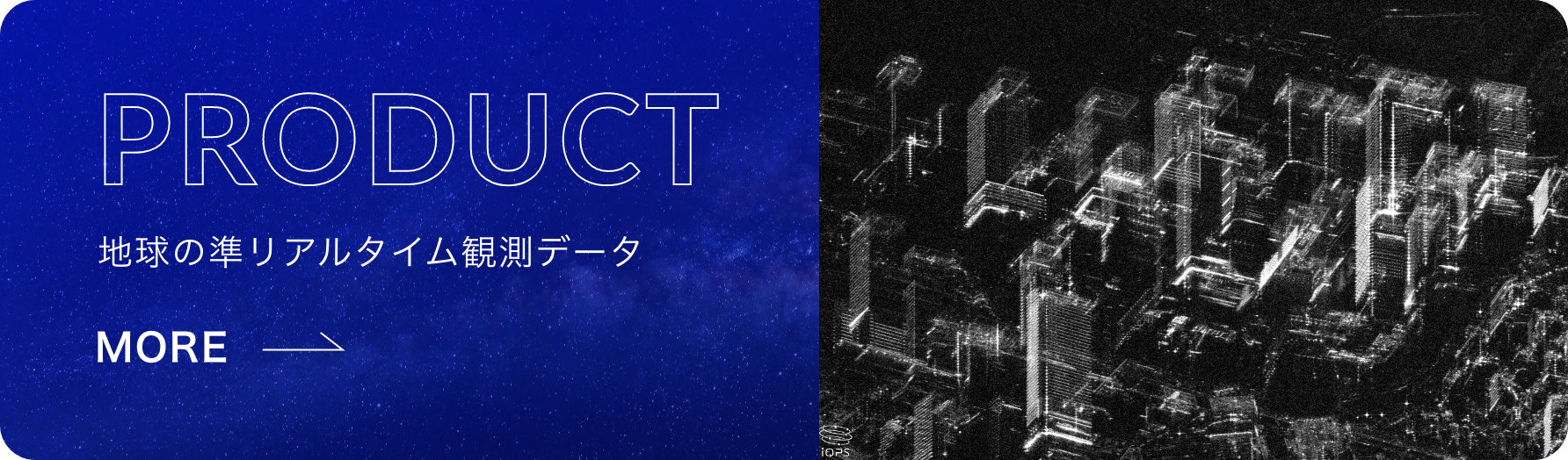
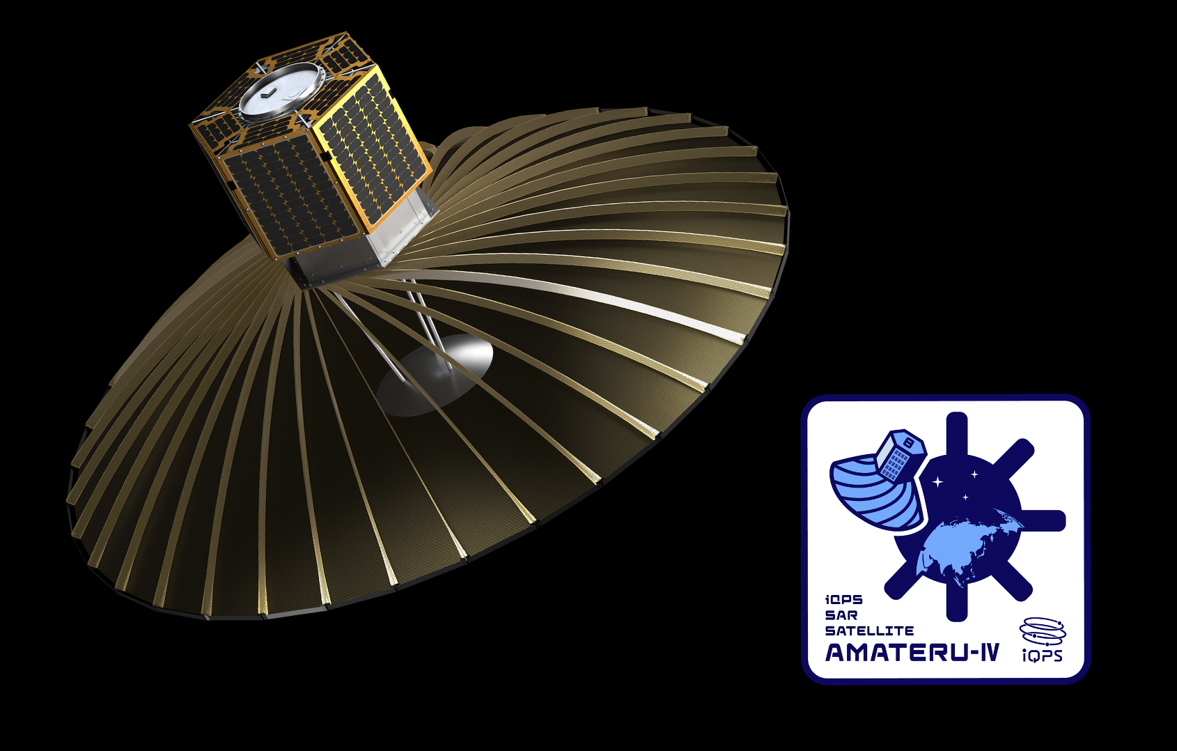
36機の小型SAR衛星で
準リアルタイムに地球を観測
QPS研究所は世界トップレベルの高精細小型レーダー衛星「QPS-SAR」を開発。
夜間や天候不良時でも任意の対象を高分解能・高画質で観測できるSAR画像を提供しています。
現在は商用機2機を運用し、2027年度までには24機体制、そして最終的には36機による衛星コンステレーションを構築し、
世界中のほぼどこでも特定地域を平均10分間隔で観測できる「準リアルタイムデータ提供サービス」を目指しています。

コンセプトムービー

COMPANY
会社概要
年代を超えた
スペシャリストが揃う、宇宙の梁山泊
QPS研究所は九州に宇宙産業を根差すことを目指して九州大学名誉教授らによって2005年に創業されました。
九州大学の小型人工衛星開発の技術をベースに、名誉教授陣と技術者、実業家、そして北部九州の地場のもの作り企業を中心とした全国25社以上と一緒に人類の発展に貢献する宇宙技術開発を行っています。
NEWS
新着情報
CAREER